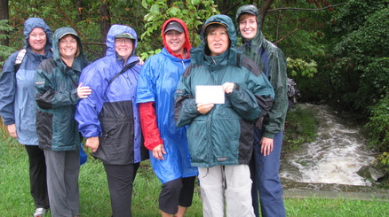
As you saw from our first hike on September 8th, it was raining very hard. We first had difficulty finding our ending point where we would drop off Tracy's vehicle. We then drove to Queenston Heights, parked in the parking lot and started looking for the Bruce Trail stone cairn. We were walking around for quite some time but didn't see anything. We asked a gentlemen and he told us it was across the road and pointed us in the right direction, where we saw a flat stone plaque just raised from the ground. We got back in the car and Ken drove us across the road so that we could get a picture by the stone cairn. It looked like something (like a plaque) had been on the stone, but it was gone. We thought it odd that this would be the cairn. We took our pictures and then proceeded back across the road looking for our first white marker for the start of the Bruce Trail.
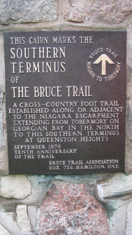
When I got home, I looked in the Bruce Trail Reference Guide. It says....."The southern terminus of the Bruce Trail is located at the stone cairn, close to the car park at the Niagara Parkway entrance to Queenston Heights Park." Did we miss it?
When I got home, I looked in the Bruce Trail Reference Guide. It says....."The southern terminus of the Bruce Trail is located at the stone cairn, close to the car park at the Niagara Parkway entrance to Queenston Heights Park." Did we miss it?
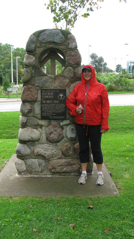
Here is our first picture by the stone on the ground. We didn't get a picture of it because there was nothing on it anyway. :-)
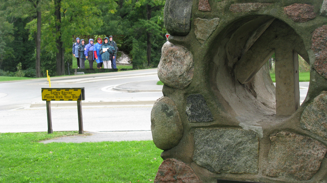
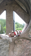
The next Saturday I biked from Chippewa to Niagara on the Lake. We picked up a few cyclists at Queenston Heights and look what I found? lol How did we miss the stone cairn? See where we were standing across the road? We were actually facing it when we were getting our picture taken. Too funny!
Sonya and Bruce. It was another rainy day!
The 6 of us will have to take a day trip to Niagara Falls
and visit the "real" Stone Cairn to get our picture taken with it.
